
We are excited to release an updated version of our interactive Book Ban Map, developed in partnership with the American Library Association’s (ALA) Office for Intellectual Freedom and PEN America. First launched in 2024, the map now includes the latest data, highlighting where bans are intensifying and showing nearby Little Free Library book-sharing boxes where readers can freely access books.
With more than 200,000 Little Free Libraries worldwide, the nonprofit’s network provides a powerful outlet for those who wish to respond to book censorship. In 2024 alone, the ALA recorded 2,452 unique titles targeted for removal or restriction from school and public libraries. By overlaying book ban data with book-sharing box locations, the map gives communities a practical option for countering these challenges: give access to banned and challenged books through neighborhood Little Free Libraries.
“At the Little Free Library nonprofit organization, we believe that access to books is a fundamental right and a cornerstone of an informed, engaged society,” said Daniel Gumnit, CEO of LFL. “This newly updated map empowers communities to protect intellectual freedom, champion diverse voices, and ensure that the joy of reading remains accessible to all.”
At-a-Glance: 2025 Book Ban Trends
State-Level Shifts
- Tennessee: Bans rose from 350 → 1,252 (largest increase nationwide)
- Texas: Remains high, 1,469 → 1,512
- South Carolina, Washington, Oregon: All saw notable increases
County-Level Shifts
- Florida: Still a hotspot. In 2024, Clay County led; in 2025, Polk, Charlotte, and Collier Counties top the list.
- Iowa: Bans spiked, with Story County and Iowa County reporting the highest numbers.
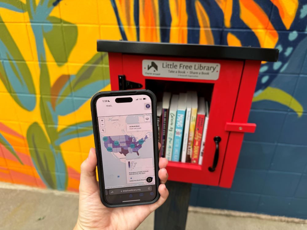
How the Book Ban Map Works
The interactive tool displays book ban data at both state and county levels alongside mapped Little Free Library book-sharing box locations across the U.S.
- Color-coded scale: States and counties are shaded in purple, with darker hues representing higher numbers of bans.
- Hover feature: Hover over any state to see the number of bans—for instance, Florida shows 767
attempted bans. - Toggle views: Switch between state-level or county-level data using the map’s built-in toggle in
the top-right corner. - Search function: Use the search bar in the top-left corner to find bans in a specific state or
county. - Little Free Library locations: Zoom in to view blue pins representing nearby Little Free Libraries. Click on a pin to see the library’s charter number, then use LFL’s mobile app or web map to learn more.
The map was created by Little Free Library in collaboration with the American Library Association’s Office for Intellectual Freedom and PEN America. Both organizations contributed their data: ALA provided state-level statistics on bans in schools and public libraries, while PEN America shared county-level data focused on school bans.
“Although it is harrowing to see such censorship attempts sweep across the nation, PEN America is proud to partner with Little Free Library again this year on their Book Ban Map,” said Sabrina Baêta Senior Program Manager, Freedom to Read, PEN America. “We all must play a part in making sure books stay in the hands of our community members, whether that means fighting for the freedom to read in schools, libraries, or even the sidewalks of our neighborhoods.”